“Our Schools, Our Communities, Our Stories”

Cartoon illustration of a large high school building as well a smaller schoolhouse, drawn in a whimsical fashion.

schools

Since 2023, the California Community Schools Partnership Program (CCSPP) holds an annual process to award Storytelling Fellows from any corner of the state. These Fellows spend months in hands-on digital training toward becoming super-storytellers. And now, they represent our community-school griots!

Close the trailer video
Intro Video · ⏱️ 4¼ min

 Come explore! – for our Fellows bring you their accounts of a journey. In their districts, the community schools strategy is bringing together students, educators, families, caregivers, and local partners.

What’s a community school??

Community schools are rooted in relationships to the families and neighborhoods they serve. The school embodies their values for developing and educating the whole person.

The students, teachers, and parents are “in it together” to learn...

And in that process, everyone grows.

communities

Our neighborhoods are as diverse as California is BIG...!
Use the map below to find a school district with a story to tell.

No county selected.

No county

Interactive map of California

In the middle of the screen, a whimsical illustration of the State of California “floats” above the rest of the page and responds to your cursor. On this map, the boundaries of each county are faintly visible, and the landscape is dotted with miniature mountains, hills, and a range of trees — from pine trees in the North to cacti and palm trees in the south. Two cities can be seen: these are Sacramento and Los Angeles. The interactive map here, serves as a menu system: you can navigate to specific school districts with your mouse or by pressing Tab to move the cursor from county to county. (Only certain counties are clickable at this time.)
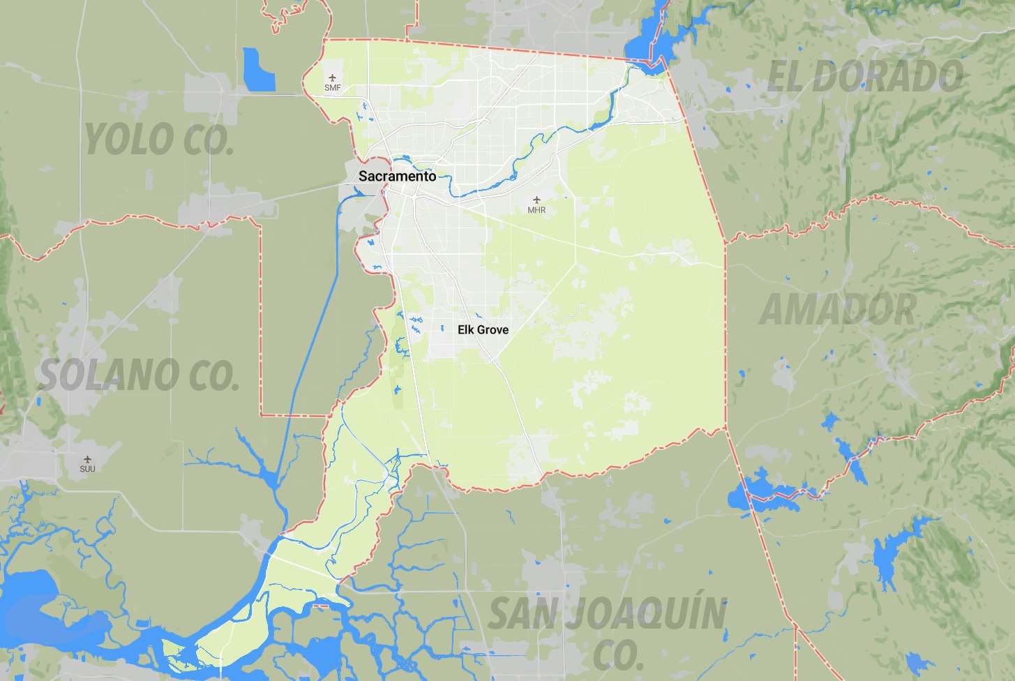
There aren’t any stories from this county published yet.
The shape of Humboldt County is highlighted on a static map, with the sole city of Eureka labelled where it sits on the coast.

Future of Learning

There aren’t any stories from this county published yet.
The shape of Shasta County is highlighted on a static map, including its general terrain of mountains, lakes, and major highways. The city of Redding is labelled inside the county, along with smaller towns like Anderson and Cottonwood.

Shasta CoE

There aren’t any stories from this county published yet.
Yuba County is highlighted on a static map. The towns of Marysville and Linda are labelled, which lay just outside of Yuba City.

Wheatland UHSD

There aren’t any stories from this county published yet.
Placer County is highlighted on a static map. The cities of Auburn and Lincoln are labelled, as well as Roseville, which lies just north of Sacramento in the neighboring county.

Placer CoE

There aren’t any stories from this county published yet.
The adjacent counties of Yolo and Sacramento County are highlighted on a static map, showing how the city of Sacramento actually spans the border between the two. The cities of Elk Grove, Davis, Stockton, and Fairfield are also labelled, among others.

Gateway Community Charters

There aren’t any stories from this county published yet.
The adjacent counties of Yolo and Sacramento County are highlighted on a static map, showing how the city of Sacramento actually spans the border between the two. The cities of Elk Grove, Davis, Stockton, and Fairfield are also labelled, among others.

Sacramento CoE

Gateway Community Charters

There aren’t any stories from this county published yet.
The shape of Contra Costa County is highlighted on a static map, including lines to indicate major highways. The cities of Richmond and Antioch are labelled inside the county. Meanwhile, all of the surrounding counties appear in dimmer colors.

W. Contra Costa

There aren’t any stories from this county published yet.
The adjacent counties of Riverside and San Bernardino are highlighted on a static map, including lines to indicate highways the criss-cross the expanse of the urban Inland Empire. Los Angeles County and Orange County appear in dimmed-out colors, to the west.

Ontario-Montclair

Southern Inland RTAC

The adjacent counties of Riverside and San Bernardino are highlighted on a static map, including lines to indicate highways the criss-cross the expanse of the urban Inland Empire. Los Angeles County and Orange County appear in dimmed-out colors, to the west.

Riverside CoE

Val Verde Unified

Southern Inland RTAC

The shape of Orange County is highlighted on a static map, including a criss-crossing of major highways. There are over a dozen cities labeled inside the county, but the most prominent ones are Santa Ana, Anaheim, Garden Grove, and Irvine.

Anaheim Union

Additional Options